- Home
- Canterbury
- Chestfield
Civil parish · Canterbury · E04004872
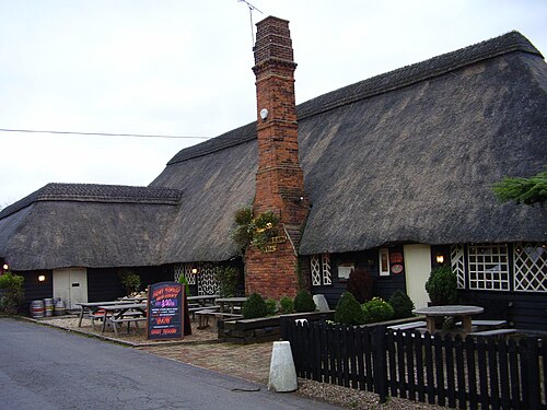
Photo: FredK ( talk ) · CC BY 2.5 · Wikimedia Commons
Chestfield
3,132 people lived here at the 2021 census, down 2.6% on 2011. It has 10 listed buildings.
- District
- Canterbury
- Status
- Civil parish
- Size rank
- 112 of 364
- Area
- 7.9 km²
- Grid
- 51.355°N, 1.064°E
01
Census
Population, 2001 to 2021
2,9152001
3,2142011
3,1322021
Source: Office for National Statistics census figures as recorded in Wikidata.
02
Heritage
10 listed buildings and 1 scheduled monument
Most common types: farmhouse, bowl barrow, thatched cottage, tea house, house, cottage.
0Grade I
0Grade II*
10Grade II
1Scheduled
Grade II
Bodkin Farmhousefarmhouse · List entry 1084918
Chestfield Barntea house · barn · List entry 1084971
Chestfield Golf Club Househouse · List entry 1104934
Gas Lantern And Column West Of North And South Tythe Barngas streetlight · List entry 1336880
Molehill Cottagethatched cottage · List entry 1084947
North And South Tythe Barnlisted building · List entry 1084934
Paddock South The Paddocklisted building · List entry 1325991
Shepherd's Cottagecottage · List entry 1336875
Sparrer Courtlisted building · List entry 1106330
The Manor House The Old Farm Housefarmhouse · List entry 1336879
Scheduled monuments
A pair of bowl barrows in Clowes Woodbowl barrow · List entry 1009017
Source: National Heritage List for England entries recorded in Wikidata with this parish or town as location.
Twinned with
No twinning recorded.