- Home
- Towns
51 towns of Kent and Medway
Market towns, seaside resorts, cathedral cities and the Medway towns — including the unparished urban areas such as Maidstone, Canterbury and Gillingham, which have no town council of their own.
| # | Town | District | Status | 2001 | 2011 | 2021 | Change | Listed | Schools | Stations |
|---|---|---|---|---|---|---|---|---|---|---|
| 1 | 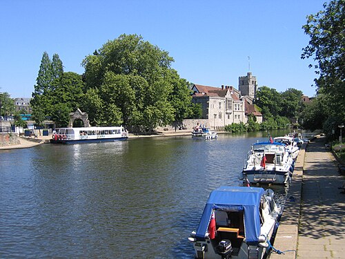 Maidstone | Maidstone | no town council | — | — | — | — | 309 | 39 | 3 |
| 2 | 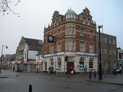 Gillingham | Medway | no town council | — | — | 108,483 | — | 36 | 25 | 0 |
| 3 | 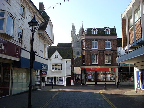 Ashford | Ashford | no town council | — | 67,528 | 83,213 | +23.2% | 171 | 20 | 0 |
| 4 | 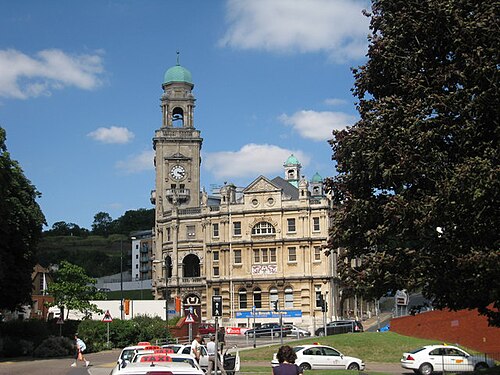 Chatham | Medway | no town council | — | 76,792 | — | — | 179 | 27 | 2 |
| 5 | 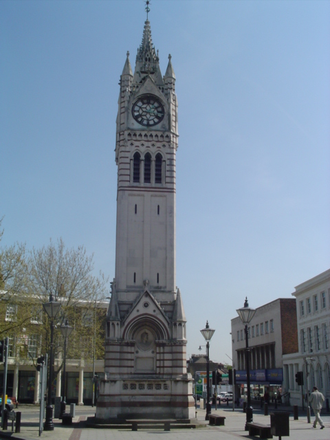 Gravesend | Gravesham | town council | — | — | — | — | 152 | 21 | 4 |
| 6 | 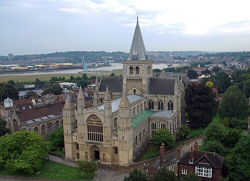 Rochester | Medway | no town council | — | 62,982 | — | — | 262 | 24 | 2 |
| 7 | 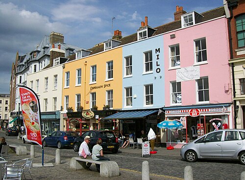 Margate | Thanet | no town council | — | 61,223 | — | — | 264 | 14 | 2 |
| 8 | 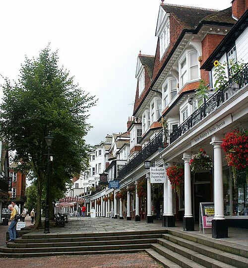 Royal Tunbridge Wells | Tunbridge Wells | town council | — | 57,772 | — | — | 286 | 10 | 1 |
| 9 | 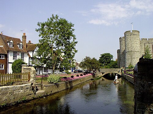 Canterbury | Canterbury | no town council | 46,490 | 54,880 | — | — | 889 | 29 | 2 |
| 10 | 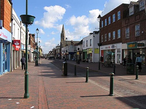 Sittingbourne | Swale | town council | — | — | — | — | 98 | 24 | 1 |
| 11 | 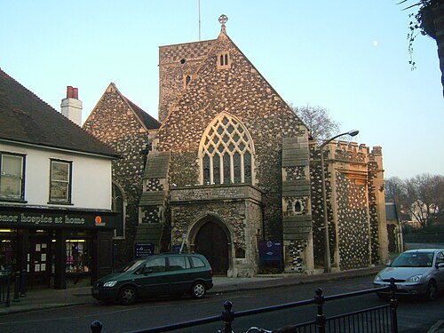 Dartford | Dartford | town council | — | — | — | — | 51 | 21 | 0 |
| 12 | 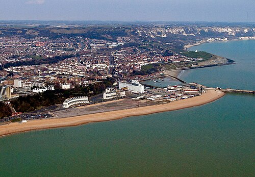 Folkestone | Folkestone and Hythe | town council | — | 51,337 | 47,356 | -7.8% | 126 | 24 | 4 |
| 13 | 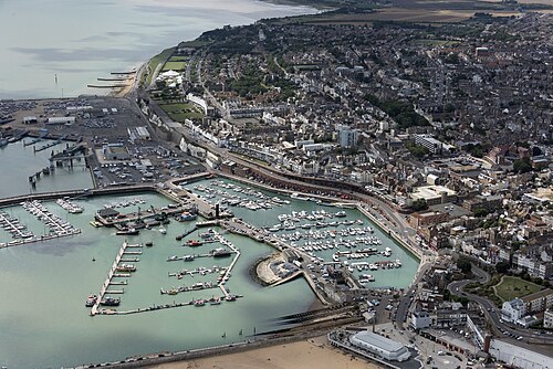 Ramsgate | Thanet | town council | — | 40,408 | 41,907 | +3.7% | 455 | 17 | 5 |
| 14 | 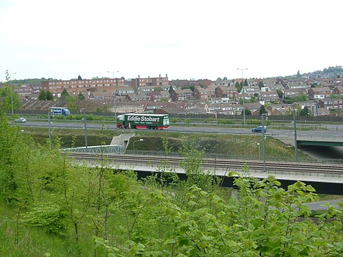 Strood | Medway | town council | — | — | — | — | 10 | 10 | 2 |
| 15 | 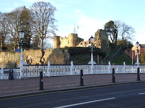 Tonbridge | Tonbridge and Malling | town council | — | 38,657 | — | — | 116 | 20 | 0 |
| 16 | 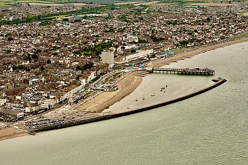 Herne Bay | Canterbury | town council | — | 38,385 | — | — | 77 | 9 | 0 |
| 17 | 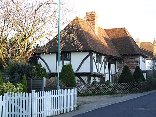 Rainham | Medway | town council | — | — | — | — | 36 | 16 | 0 |
| 18 | 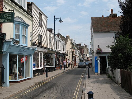 Whitstable | Canterbury | town council | 30,195 | — | — | — | 97 | 10 | 0 |
| 19 | 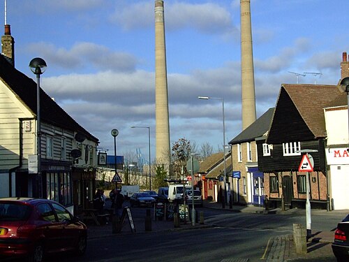 Northfleet | Gravesham | town council | — | — | — | — | 17 | 13 | 0 |
| 20 | 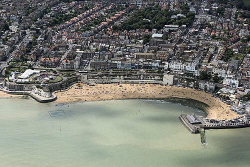 Broadstairs | Thanet | town council | — | — | — | — | 0 | 14 | 1 |
| 21 | 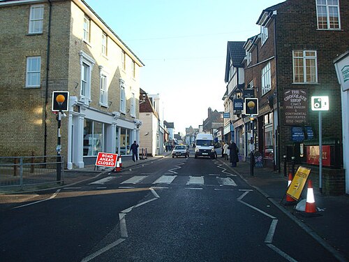 Sevenoaks | Sevenoaks | town council | 18,588 | 20,409 | 21,167 | +3.7% | 192 | 14 | 1 |
| 22 | 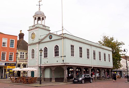 Faversham | Swale | town council | 17,710 | 19,316 | 20,434 | +5.8% | 344 | 8 | 1 |
| 23 | 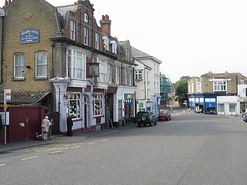 Deal | Dover | town council | 20,355 | 20,823 | 20,342 | -2.3% | 336 | 6 | 1 |
| 24 | 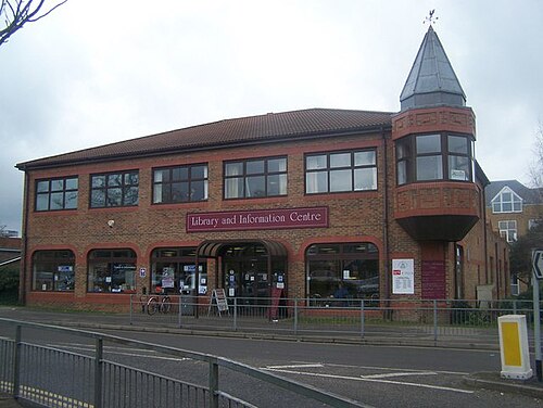 Swanley | Sevenoaks | town council | 20,986 | 16,226 | 17,805 | +9.7% | 19 | 8 | 1 |
| 25 | 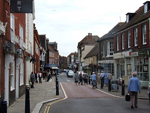 Hythe | Folkestone and Hythe | town council | 14,170 | 14,516 | 14,980 | +3.2% | 123 | 4 | 2 |
| 26 | 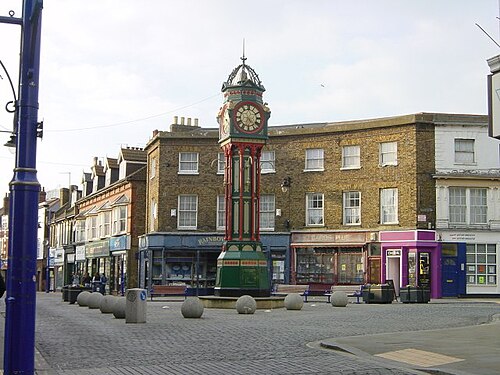 Sheerness | Swale | town council | — | — | 13,252 | — | 53 | 6 | 0 |
| 27 | 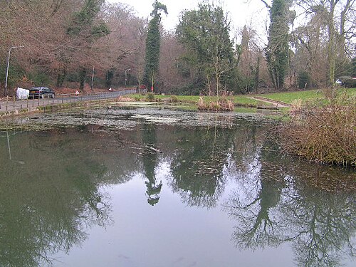 Southborough | Tunbridge Wells | town council | 11,124 | 12,061 | 11,967 | -0.8% | 49 | 8 | 0 |
| 28 | 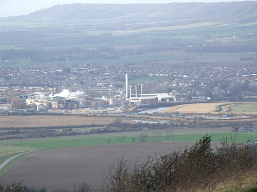 Snodland | Tonbridge and Malling | town council | 9,329 | 10,211 | 11,830 | +15.9% | 28 | 5 | 1 |
| 29 | 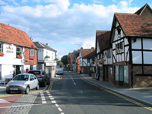 Edenbridge | Sevenoaks | town council | 7,808 | 8,907 | 9,881 | +10.9% | 85 | 3 | 2 |
| 30 | 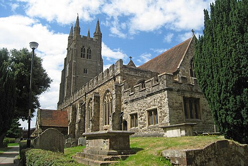 Tenterden | Ashford | town council | 7,613 | 7,735 | 8,198 | +6.0% | 197 | 5 | 1 |
| 31 | 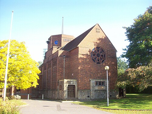 Paddock Wood | Tunbridge Wells | town council | 8,263 | 8,253 | 8,160 | -1.1% | 31 | 2 | 0 |
| 32 | 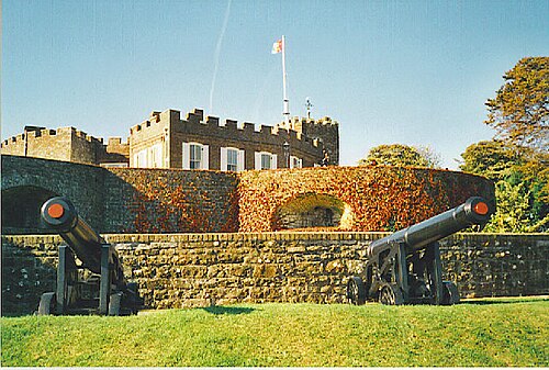 Walmer | Dover | town council | 7,428 | 8,178 | 7,839 | -4.1% | 28 | 2 | 1 |
| 33 | 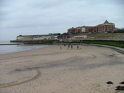 Westgate-on-Sea | Thanet | town council | — | — | 7,517 | — | 19 | 3 | 1 |
| 34 | 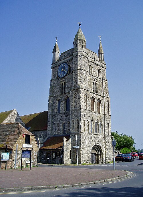 New Romney | Folkestone and Hythe | town council | 6,953 | 6,996 | 7,250 | +3.6% | 62 | 3 | 3 |
| 35 | 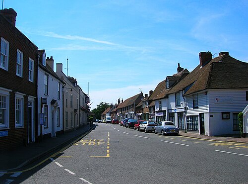 Lydd | Folkestone and Hythe | town council | 5,782 | 6,567 | 6,345 | -3.4% | 61 | 1 | 2 |
| 36 | 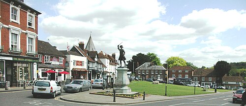 Westerham | Sevenoaks | town council | 4,078 | 4,475 | 4,501 | +0.6% | 155 | 3 | 1 |
| 37 | 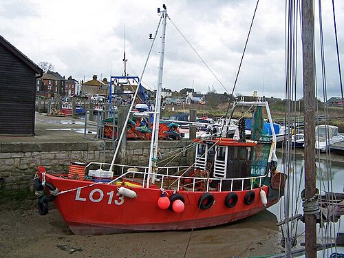 Queenborough | Swale | town council | 3,471 | 3,407 | 3,916 | +14.9% | 24 | 1 | 1 |
| 38 | 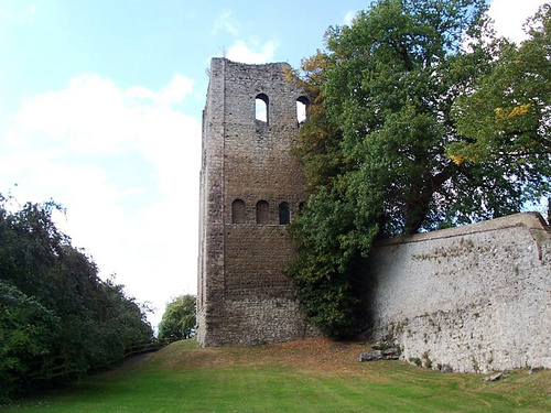 West Malling | Tonbridge and Malling | town council | 2,383 | 2,590 | 2,555 | -1.4% | 171 | 5 | 1 |
| 39 | 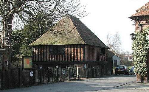 Fordwich | Canterbury | town council | 351 | 381 | 372 | -2.4% | 34 | 0 | 0 |
| 40 | 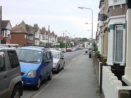 Halfway Houses | Swale | no town council | — | — | — | — | 2 | 0 | 0 |
| 41 | unparished part of Medway | Medway | no town council | — | — | — | — | 0 | 0 | 0 |
| 42 | unparished part of Thanet | Thanet | no town council | — | — | — | — | 0 | 0 | 0 |
| 43 | unparished part of Dartford | Dartford | no town council | — | — | — | — | 0 | 0 | 0 |
| 44 | unparished part of Swale | Swale | no town council | — | — | — | — | 0 | 0 | 0 |
| 45 | unparished part of Canterbury | Canterbury | no town council | — | — | — | — | 0 | 0 | 0 |
| 46 | unparished part of Ashford | Ashford | no town council | — | — | — | — | 0 | 0 | 0 |
| 47 | unparished part of Gravesham | Gravesham | no town council | — | — | — | — | 0 | 0 | 0 |
| 48 | unparished part of Maidstone | Maidstone | no town council | — | — | — | — | 0 | 0 | 0 |
| 49 | unparished part of Tonbridge and Malling | Tonbridge and Malling | no town council | — | — | — | — | 0 | 0 | 0 |
| 50 | unparished part of Tunbridge Wells | Tunbridge Wells | no town council | — | — | — | — | 0 | 0 | 0 |
| 51 | Sittingbourne and Milton | Swale | no town council | — | — | — | — | 0 | 0 | 0 |
Census population via Wikidata; unparished areas follow the boundaries used by the ONS. Schools are counted for their nearest town or parish centre.