Civil parish · Medway · E04001135
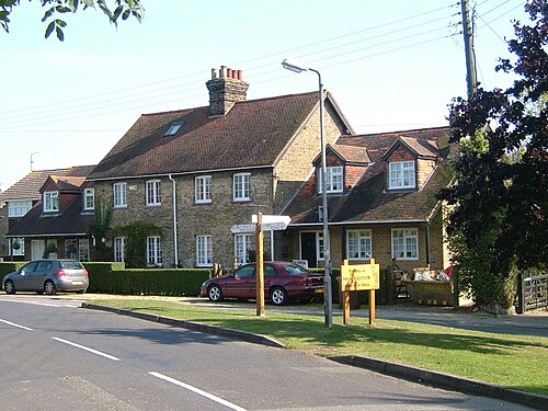
Photo: Clem Rutter, Rochester Kent · CC BY 2.5 · Wikimedia Commons
High Halstow
2,023 people lived here at the 2021 census, up 12.0% on 2011. It has 7 listed buildings, 1 of them Grade I.
- District
- Medway
- Status
- Civil parish
- Size rank
- 147 of 364
- Postcode
- ME3
- Grid
- 51.450°N, 0.575°E
01
Census
Population, 2001 to 2021
1,7812001
1,8072011
2,0232021
Source: Office for National Statistics census figures as recorded in Wikidata.
02
Heritage
7 listed buildings and 1 scheduled monument
Most common types: farmhouse, church building, pub.
1Grade I
0Grade II*
6Grade II
1Scheduled
Grade I
Church of St Margaretchurch building · List entry 1204435
Grade II
Buck Hole Farmhousefarmhouse · List entry 1204431
Building 219, Wwi Sentry Post, Lodge Hilllisted building · List entry 1400888
Dux Courtlisted building · List entry 1085749
Great Dalhamlisted building · List entry 1085751
The Red Dog Public Housepub · List entry 1085750
Wybornes Farmhousefarmhouse · List entry 1204433
Scheduled monuments
Halstow Marshes Decoy Pondscheduled monument · List entry 1424899
Source: National Heritage List for England entries recorded in Wikidata with this parish or town as location.
03
Schools
1 school nearby
Open schools from the DfE register addressed in High Halstow, or whose nearest town or parish centre in Medway is High Halstow.
| School | Phase | Ages | Pupils | Intake |
|---|---|---|---|---|
| Leigh Academy High Halstow | Primary | 3–11 | 241 | Mixed |
Neighbours
Twinned with
No twinning recorded.