Civil parish · Thanet · E04005083
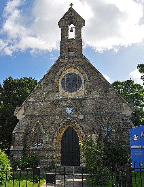
Photo: Nilfanion · CC BY-SA 4.0 · Wikimedia Commons
Manston
1,975 people lived here at the 2021 census, up 73.6% on 2011. It has 9 listed buildings.
- District
- Thanet
- Status
- Civil parish
- Size rank
- 150 of 364
- Postcode
- CT12
- Grid
- 51.346°N, 1.370°E
01
Census
Population, 2001 to 2021
4102001
1,1382011
1,9752021
Source: Office for National Statistics census figures as recorded in Wikidata.
02
Heritage
9 listed buildings and 1 scheduled monument
Most common types: barn, archaeological site, farmhouse, gatehouse, house, granary.
0Grade I
0Grade II*
9Grade II
1Scheduled
Grade II
Barn At Manston Greenbarn · List entry 1085445
Barn At Preston Farm (Tr 3507 6686)barn · List entry 1085444
Flete Lodgegatehouse · List entry 1204244
Granary About 25 Metres South Of Manston Court Farmhousegranary · List entry 1336626
Grove Farmhouse And Walled Front Gardenfarmhouse · List entry 1085442
Manston Court And Wall Adjacentlisted building · List entry 1336625
Manston War Memorialwar memorial · memorial cross · List entry 1430779
Old Forge Househouse · List entry 1336624
Remains Of Monastic Building, Now Outbuildinglisted building · List entry 1085443
Scheduled monuments
Settlement one mile (1610m) E of villagearchaeological site · List entry 1005135
Source: National Heritage List for England entries recorded in Wikidata with this parish or town as location.
Twinned with
No twinning recorded.