- Home
- Folkestone and Hythe
- Burmarsh
Civil parish · Folkestone and Hythe · E04005015
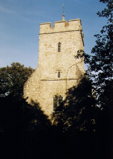
Photo: Michael FORD · CC BY-SA 2.0 · Wikimedia Commons
Burmarsh
347 people lived here at the 2021 census, up 5.2% on 2011. It has 7 listed buildings.
- District
- Folkestone and Hythe
- Status
- Civil parish
- Size rank
- 304 of 364
- Grid
- 51.049°N, 0.996°E
01
Census
Population, 2001 to 2021
3582001
3302011
3472021
Source: Office for National Statistics census figures as recorded in Wikidata.
02
Heritage
7 listed buildings and 3 scheduled monuments
Most common types: church building, canal, church ruin, farmhouse, memorial cross, pub.
0Grade I
1Grade II*
6Grade II
3Scheduled
Grade II*
Church of All Saintschurch building · List entry 1061163
Grade II
Eastbridge Churchchurch ruin · List entry 1231104
Haymakerslisted building · List entry 1344154
K6 Telephone KioskK6 telephone box · List entry 1390616
Orgarswick Church Memorialmemorial cross · List entry 1278269
Rothschild Farmhousefarmhouse · List entry 1061123
The Shepherd And Crook Public Housepub · List entry 1344173
Scheduled monuments
Eastbridge Churchchurch ruin · List entry 1231104
Royal Military Canal, Honeypot Cottage to West Hythe Damcanal · List entry 1005113
World War II underground operational post, 1/3 mile (540m) SW of Chapel Farmscheduled monument · List entry 1003781
Source: National Heritage List for England entries recorded in Wikidata with this parish or town as location.
Twinned with
No twinning recorded.