Civil parish · Sevenoaks · E04005011
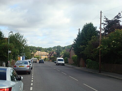
Photo: Stacey Harris · CC BY-SA 2.0 · Wikimedia Commons
Hextable
4,115 people lived here at the 2021 census, up 0.6% on 2011. It has 2 listed buildings.
- District
- Sevenoaks
- Status
- Civil parish
- Size rank
- 94 of 364
- Area
- 2.0 km²
- Grid
- 51.411°N, 0.181°E
01
Census
Population, 2011 to 2021
4,0922011
4,1152021
Source: Office for National Statistics census figures as recorded in Wikidata.
02
Heritage
2 listed buildings
Most common types: gate, farmhouse.
0Grade I
0Grade II*
2Grade II
0Scheduled
Grade II
Gate, Gate Piers, Wall And Railings To Hextable House (Part Of North West Kent Teachers Training Centre)gate · List entry 1239127
The Old Farmhousefarmhouse · List entry 1267520
Source: National Heritage List for England entries recorded in Wikidata with this parish or town as location.
03
Schools
2 schools nearby
Open schools from the DfE register addressed in Hextable, or whose nearest town or parish centre in Sevenoaks is Hextable.
| School | Phase | Ages | Pupils | Intake |
|---|---|---|---|---|
| Hextable Primary School | Primary | 4–11 | 605 | Mixed |
| St Pauls' Church of England Voluntary Controlled Primary School | Primary | 4–11 | 107 | Mixed |
Neighbours
Twinned with
No twinning recorded.