Civil parish · Swale · E04005058
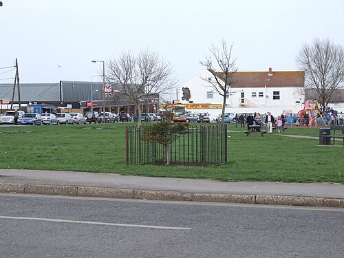
Photo: Clem Rutter, Rochester, Kent. · CC BY 2.5 · Wikimedia Commons
Leysdown
1,605 people lived here at the 2021 census, up 27.8% on 2011. It has 5 listed buildings.
- District
- Swale
- Status
- Civil parish
- Size rank
- 179 of 364
- Grid
- 51.380°N, 0.909°E
01
Census
Population, 2001 to 2021
1,2452001
1,2562011
1,6052021
Source: Office for National Statistics census figures as recorded in Wikidata.
02
Heritage
5 listed buildings and 2 scheduled monuments
Most common types: farmhouse, church building, moated site, pub, manor house, anti-aircraft battery.
0Grade I
1Grade II*
4Grade II
2Scheduled
Grade II*
Church of St Thomas the Apostlechurch building · List entry 1258076
Grade II
Ferry House Innpub · inn · List entry 1258222
Muswell Manormanor house · List entry 1273062
Paradise Farmhousefarmhouse · List entry 1258506
Park Farmhousefarmhouse · List entry 1258074
Scheduled monuments
Cold War Heavy Anti-Aircraft Battery lying on land to east of Harty Ferry Roadanti-aircraft battery · List entry 1477350
Medieval moated site at Sayes Courtmoated site · List entry 1012178
Source: National Heritage List for England entries recorded in Wikidata with this parish or town as location.
Twinned with
No twinning recorded.