- Home
- Canterbury
- Womenswold
Civil parish · Canterbury · E04004890
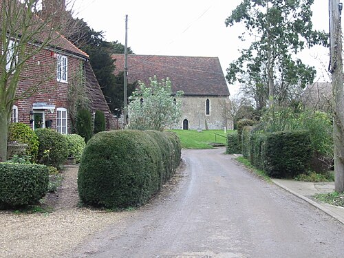
Photo: Nick Smith · CC BY-SA 2.0 · Wikimedia Commons
Womenswold
341 people lived here at the 2021 census, up 19.2% on 2011. It has 16 listed buildings, 1 of them Grade I.
- District
- Canterbury
- Status
- Civil parish
- Size rank
- 306 of 364
- Area
- 7.4 km²
- Grid
- 51.211°N, 1.188°E
01
Census
Population, 2001 to 2021
3002001
2862011
3412021
Source: Office for National Statistics census figures as recorded in Wikidata.
02
Heritage
16 listed buildings and 1 scheduled monument
Most common types: farmhouse, thatched cottage, church building, house, K6 telephone box, pub.
1Grade I
0Grade II*
15Grade II
1Scheduled
Grade I
Church of St Margaretchurch building · List entry 1085468
Grade II
1 and 2, the Streetlisted building · List entry 1085469
Aylesham Farmhousefarmhouse · List entry 1055742
Denne Hilllisted building · List entry 1336632
K6 Telephone KioskK6 telephone box · List entry 1241645
Kitchen Garden Walls At Denne Hilllisted building · List entry 1085467
Little Thatchthatched cottage · List entry 1273443
Nethersole Farmhousefarmhouse · List entry 1085472
Thatched Cottagethatched cottage · List entry 1085471
The Cottagethatched cottage · List entry 1085470
The Former Stables At Denne Hilllisted building · List entry 1055729
The Old Farmhousefarmhouse · List entry 1085473
Two Sawyers Public Housepub · List entry 1336598
Well Cottagecottage · List entry 1345573
Woolage Farmhousefarmhouse · List entry 1057691
Wymlingdon Househouse · List entry 1057688
Scheduled monuments
Rubury Butts bowl barrowsscheduled monument · List entry 1427315
Source: National Heritage List for England entries recorded in Wikidata with this parish or town as location.
Twinned with
No twinning recorded.